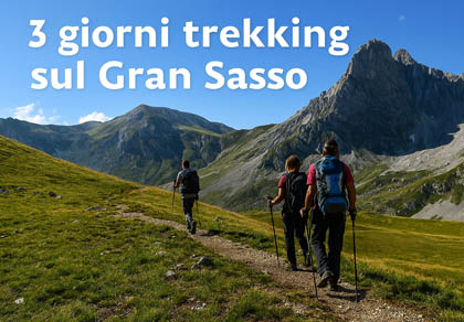
Ascent from Campo Imperatore to Corno Grande (Normal Route)
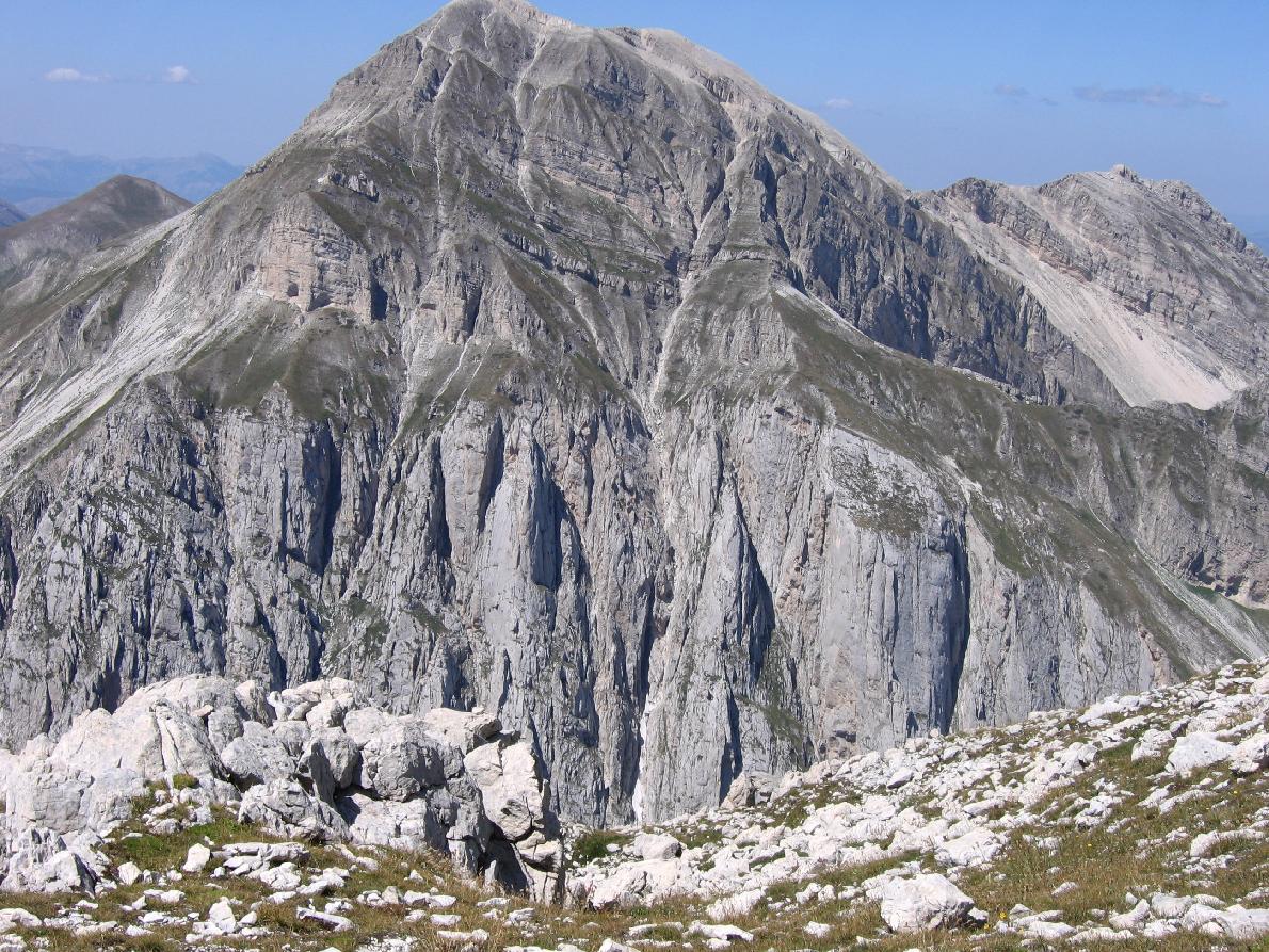
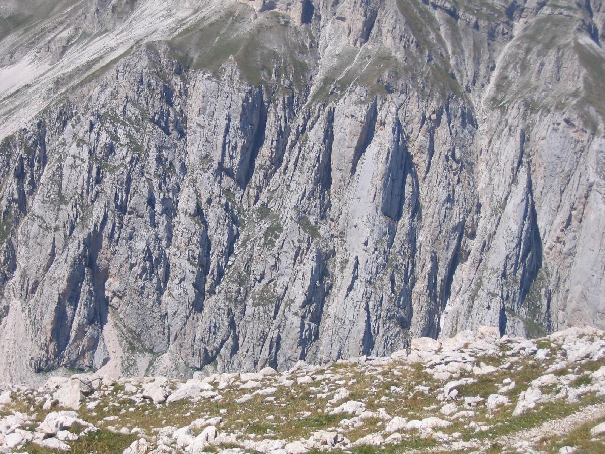
The ascent from Campo Imperatore to Corno Grande is one of the most iconic routes of the Gran Sasso: demanding but spectacular, ideal for experienced hikers.
Starting point
Location: Campo Imperatore (approx. 2,130 m)
Access: by car from Fonte Cerreto, Santo Stefano di Sessanio or Castel del Monte, or by the cable car from Fonte Cerreto (open in summer and winter; in autumn it closes for maintenance, often until the ski lifts reopen; info at www.ilgransasso.it). Dogs must wear a muzzle on the cable car. Start from the square by the Observatory, next to the hotel.
Main technical data
Summit: Corno Grande (2,912 m)
Elevation gain: approx. 820 m
Round trip: 7–8 km
Ascent time: 3 h – 3 h 30’
Descent time: 2 h – 2 h 30’
Difficulty: EE
Exposure: Moderate
Terrain: Trail, rocky steps, scree
In winter and spring the normal route is snow-covered: snowshoes are not enough, you need crampons, an ice axe and mountaineering experience.
Route description
From the Observatory follow the path towards Rifugio Duca degli Abruzzi and at the first fork turn right onto trail 101, below the Portella ridge, to Sella di Monte Aquila (2,335 m, about 45 minutes). Leave the start of the Direttissima on the right and take trail 103 towards Campo Pericoli.
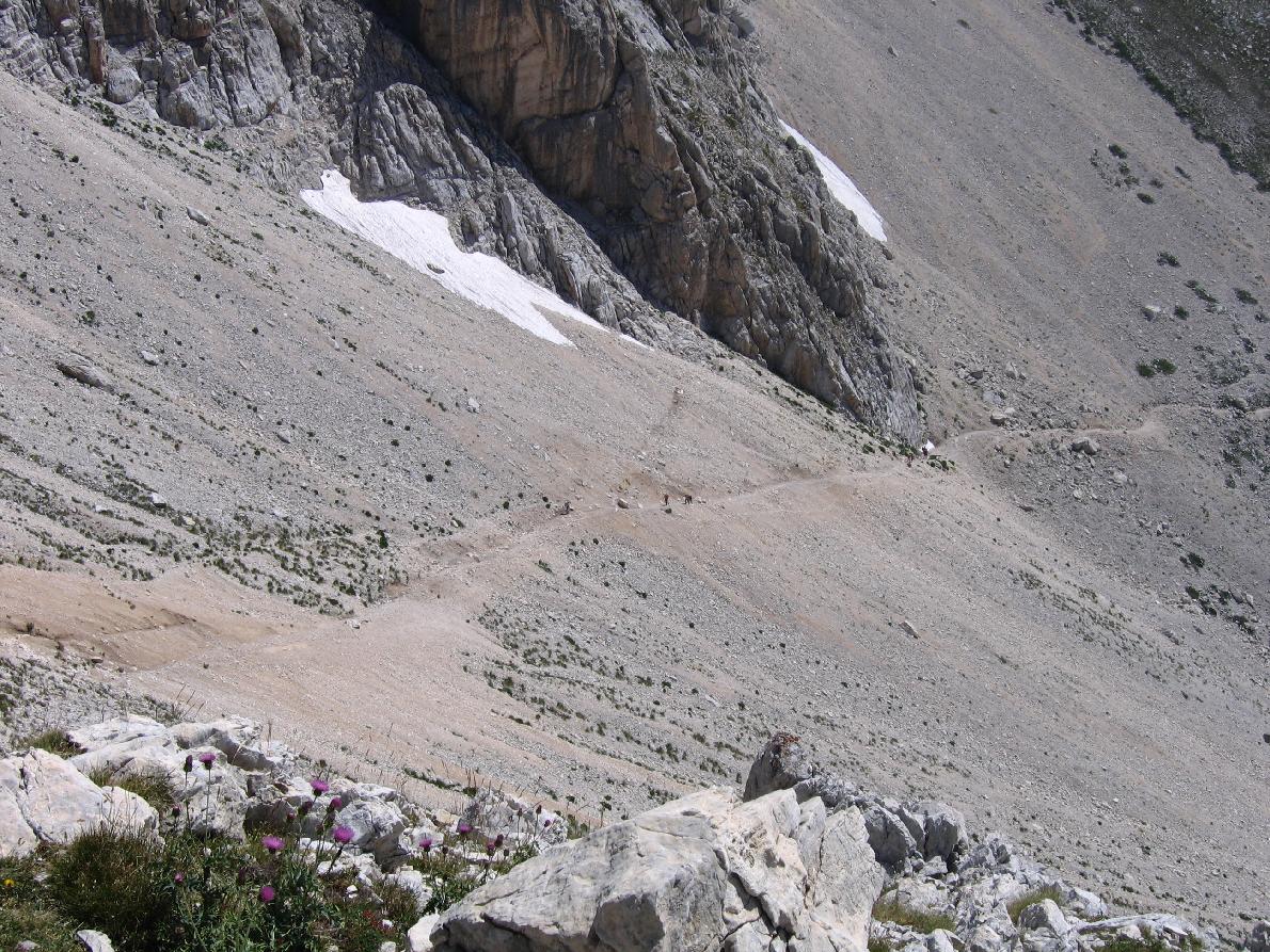
From the foot of the Pera spur climb diagonally across the Brecciaio scree to Sella del Brecciaio (2,506 m), then zigzag into the Conca degli Invalidi, with Corno Piccolo on your left. At 2,690 m, where the route from Prati di Tivo joins, turn right onto trail 103A.
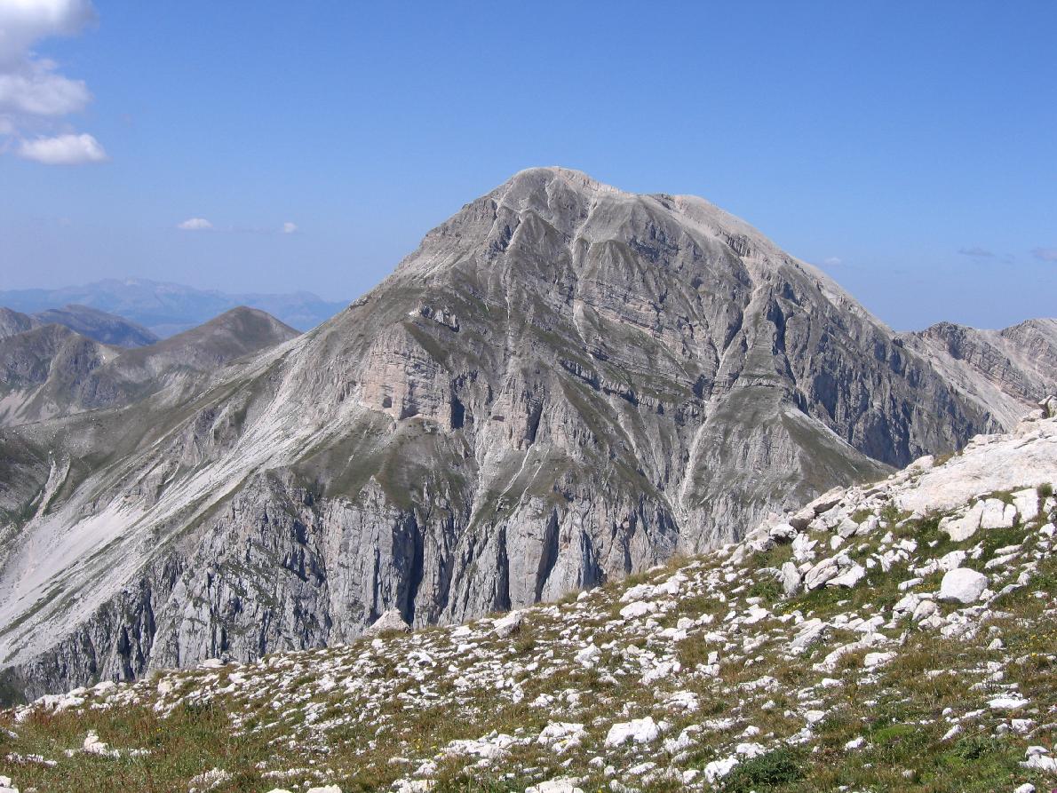
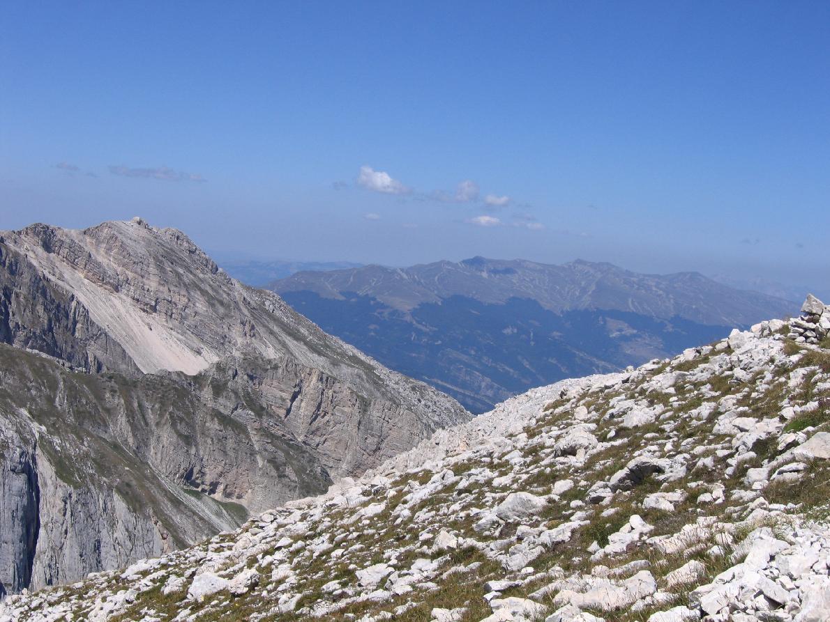
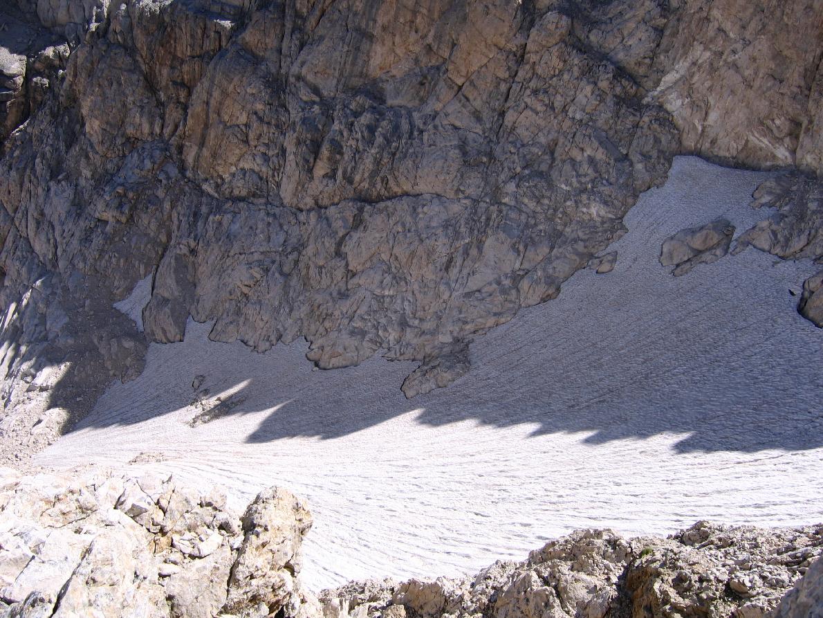
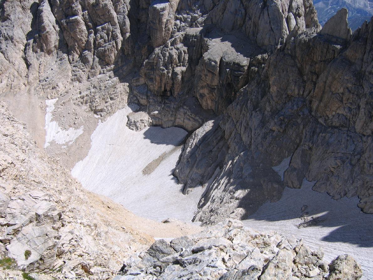
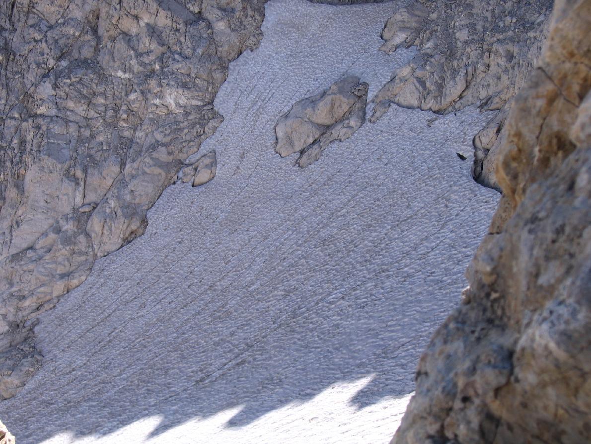
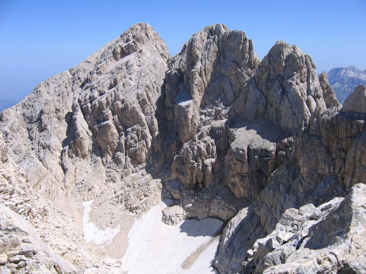
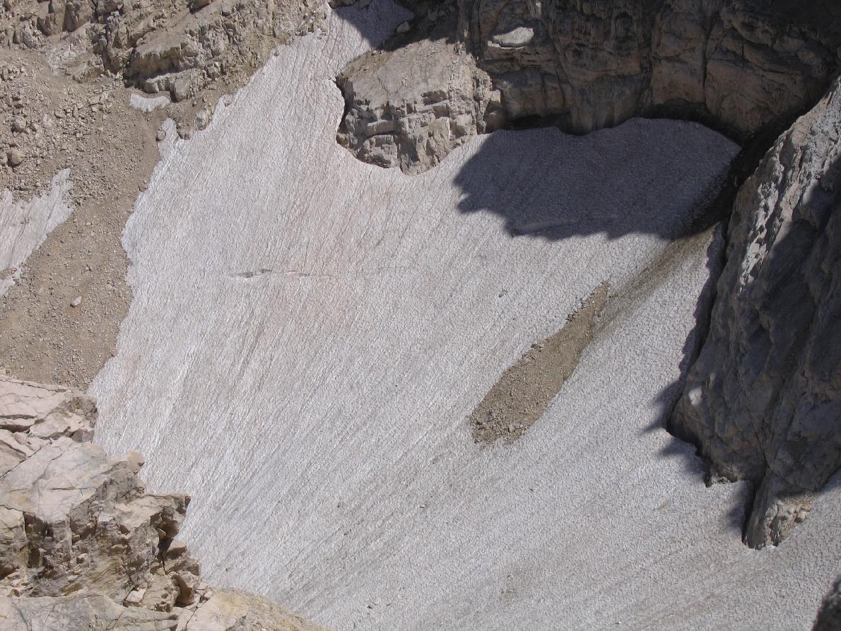
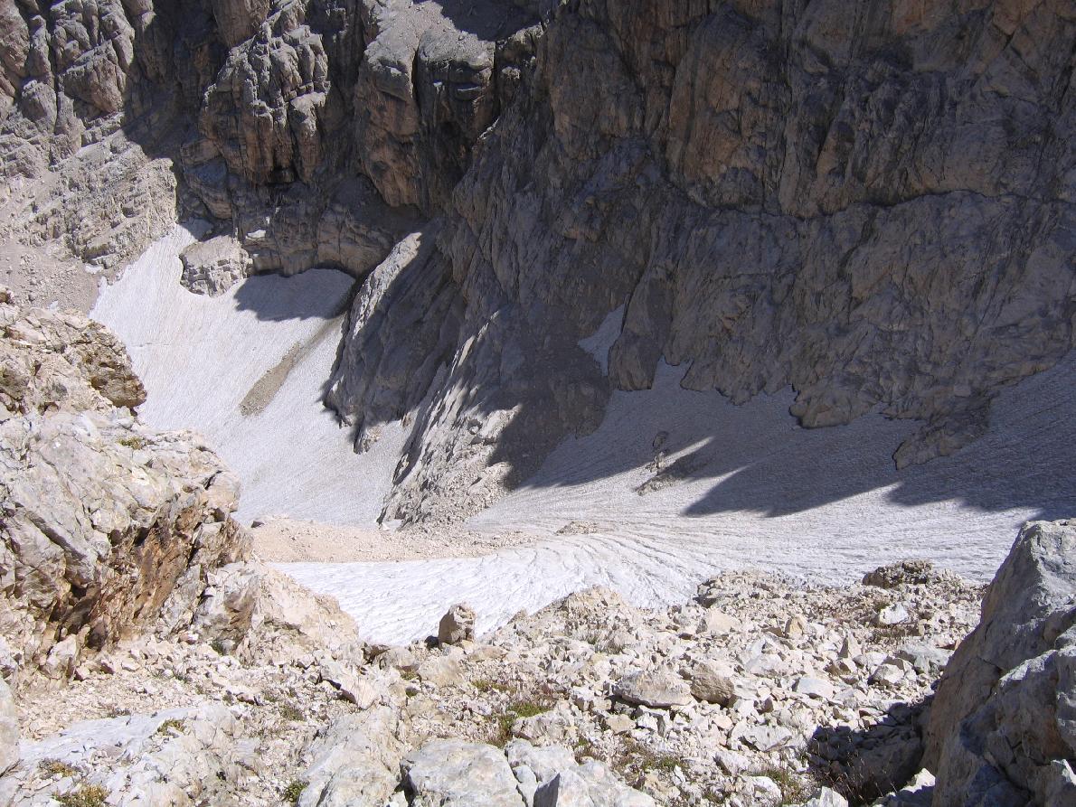
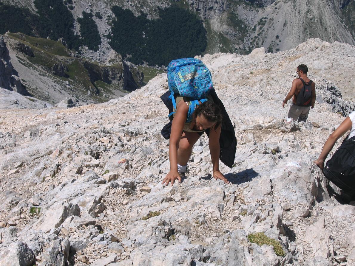
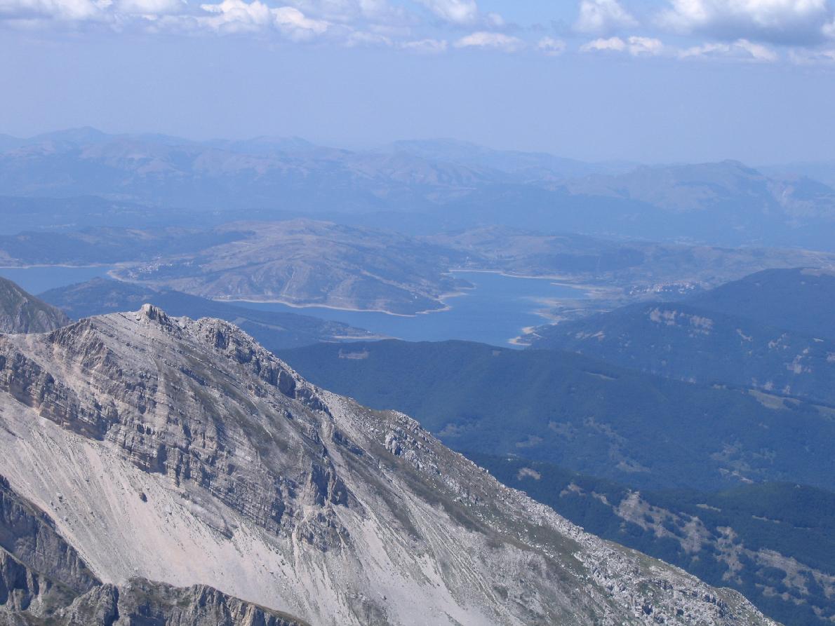
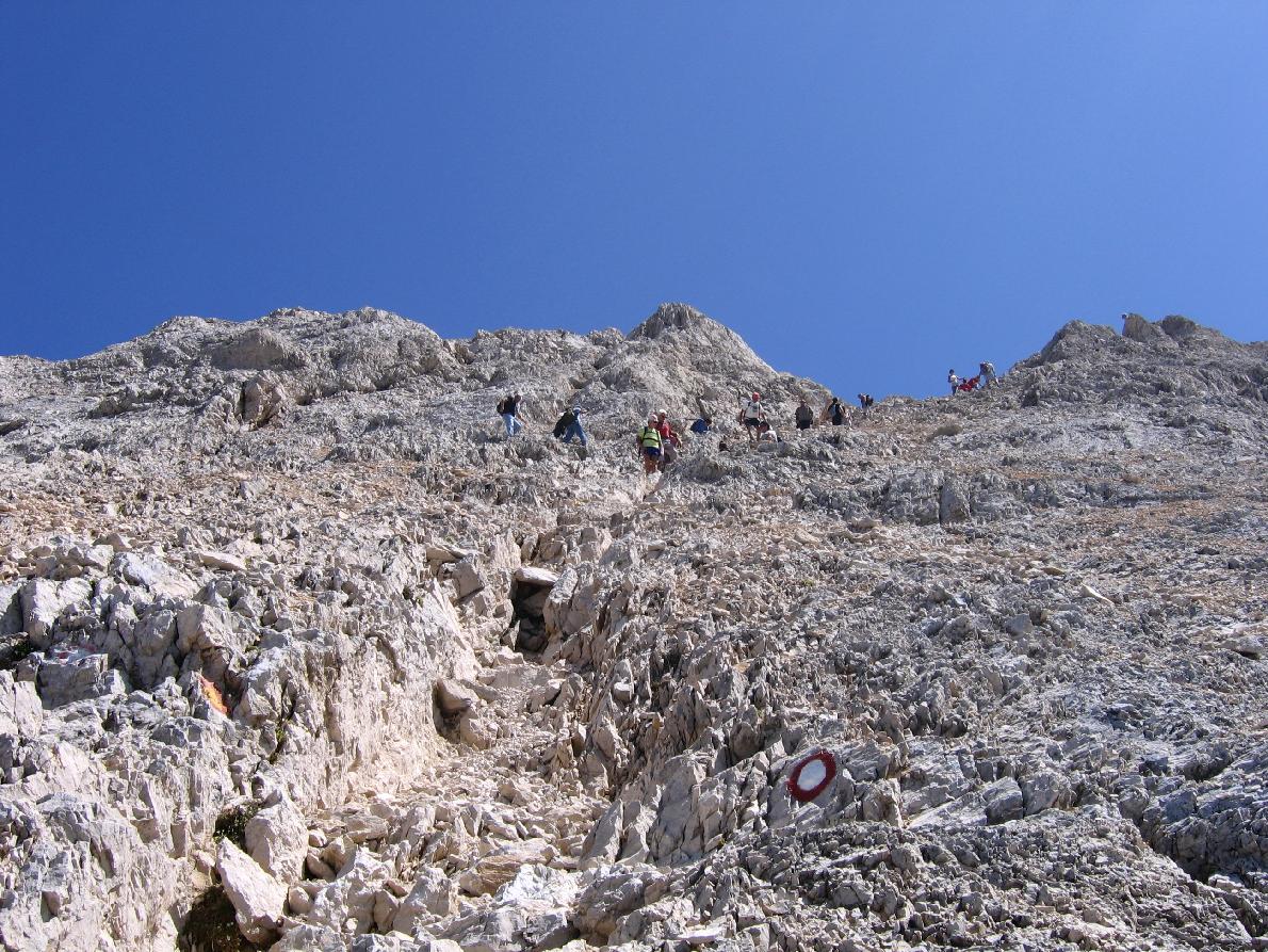
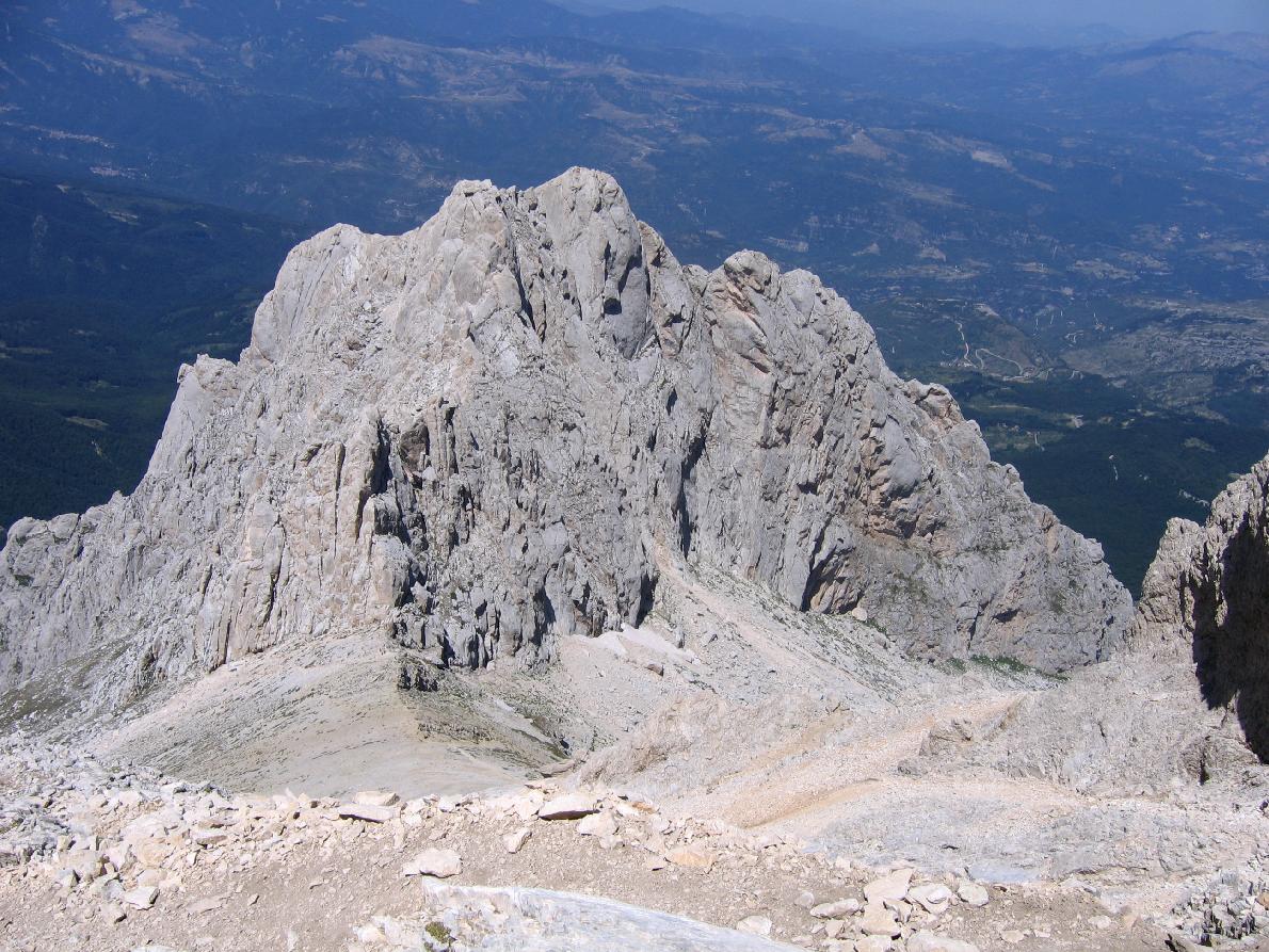
The final section climbs over scree and slabs, using your hands in places: follow the waymarks and do not go up the small gully, where stones fall. From a notch overlooking the Calderone glacier the ridge leads to the cross on the Western Summit (2,912 m). The view stretches from the Majella to the Velino-Sirente and, on clear days, to the Adriatic. Descend the same way, taking care not to dislodge stones.
Critical points and warnings
- Loose scree: requires secure footing, especially on descent.
- Strong winds: the ridge and summit are often exposed.
- Snow & ice: possible until early summer and late season.
- Weather: sudden storms possible; stable forecast essential.
- Crowds: very popular on summer weekends.
Main variants
- Direttissima Route (EEA): steeper and more exposed, for very experienced hikers.
- From the Teramo side: from Prati di Tivo and Rifugio Franchetti, via Sella dei Due Corni, you reach the fork at 2,690 m and the same final section.
Recommended equipment
- Footwear: sturdy hiking boots.
- Clothing: layered, with windproof/waterproof jacket.
- Trekking poles: useful on scree.
- Helmet: recommended due to possible rockfall.
- Water & food: no sources along the route.
- Navigation: GPS/GPX track and hiking map.
Technical sheet – Corno Grande (Normal Route)
| Starting point | Campo Imperatore – 2,130 m |
|---|---|
| Summit | Corno Grande – 2,912 m |
| Elevation gain | approx. 820 m |
| Round trip | 7–8 km |
| Ascent time | 3 h – 3 h 30’ |
| Descent time | 2 h – 2 h 30’ |
| Difficulty | EE – Experienced hikers |
| Exposure | Moderate |
| Terrain | Trail, rocky steps, steep scree |
| Recommended season | July – September |
| Equipment | Boots, poles, helmet recommended, layered clothing |