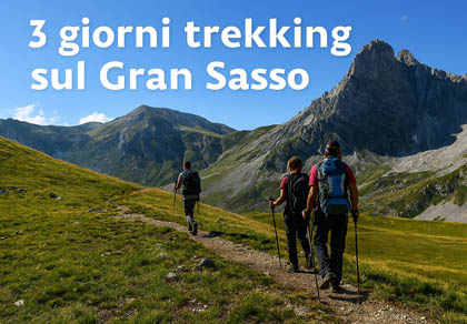

Explore the Gran Sasso paths: download maps and GPX tracks
Select an itinerary to view details, maps, and GPS tracks
Practical information to plan your hikes on the Gran Sasso safely: overview of the main trails, difficulty, duration and access points. The map includes all our recorded routes with links to the related guides.

The most popular ski resorts, the updated snow report and useful information on how to find lifts or book accommodation for your winter holiday
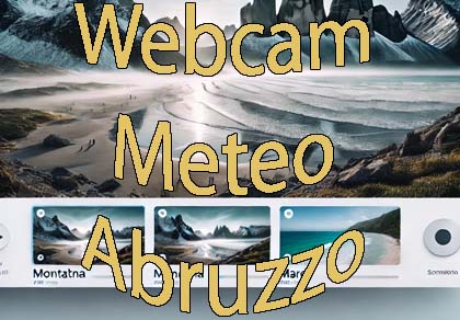
View the webcams in Abruzzo and check real‑time weather conditions. Some webcams belong to www.abruzzoparchi.it, others are located throughout the region
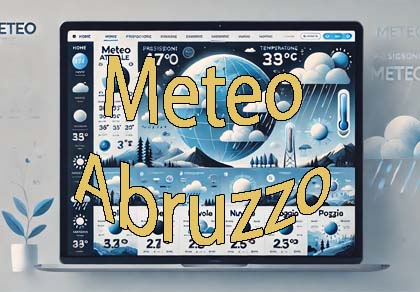
Weather forecasts for the coming days in Abruzzo. Live weather via our webcams and temperatures recorded in several mountain areas
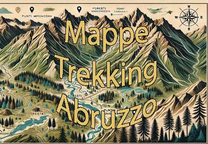
Maps for trekking, mountain biking, ski touring, running and horse riding. You can also download the GPX track of each route
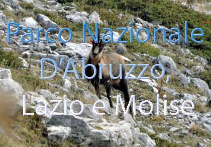
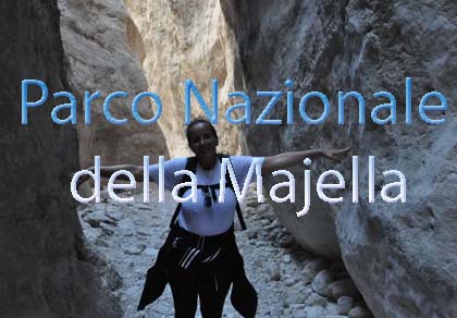
One of Italy’s most famous and oldest national parks
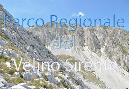
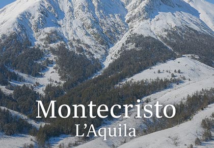
Located in the heart of the Apennines, home to the beautiful villages of the Rocche Plateau
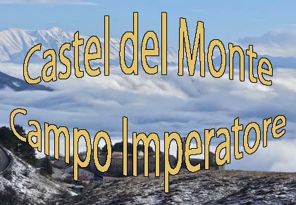
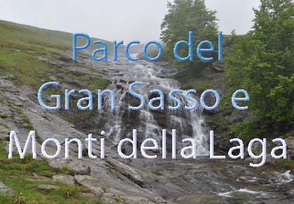
One of the snowiest places in Italy, a unique mountain massif rising close to the sea
Abruzzo’s villages are famous for their fortresses, mountains and the traditional trabocchi along the southern coast
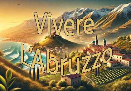
Choose between sea or mountains, summer or winter, a sporty holiday or a relaxing one — Abruzzo has it all
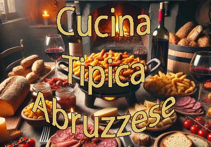
Abruzzo is famous for its cuisine, both mountain and coastal, with traditions that vary from area to area
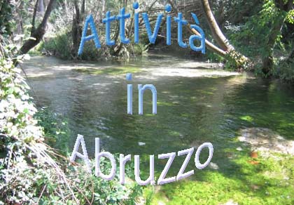
Walks, diving, climbing, mountain biking, horse riding — all outdoor activities available in Abruzzo
The most popular ski resorts, the updated snow report and useful information on how to find lifts or book accommodation for your winter holiday
Vai
View the webcams in Abruzzo and check real‑time weather conditions. Some webcams belong to www.abruzzoparchi.it, others are located throughout the region
Vai
Weather forecasts for the coming days in Abruzzo. Live weather via our webcams and temperatures recorded in several mountain areas
Vai
Maps for trekking, mountain biking, ski touring, running and horse riding. You can also download the GPX track of each route
Vai
Walks, diving, climbing, mountain biking, horse riding — all outdoor activities available in Abruzzo
Vai
Choose between sea or mountains, summer or winter, a sporty holiday or a relaxing one — Abruzzo has it all
Vai
Abruzzo is famous for its cuisine, both mountain and coastal, with traditions that vary from area to area
Vai
Abruzzo’s villages are famous for their fortresses, mountains and the traditional trabocchi along the southern coast
Vai
One of Italy’s most famous and oldest national parks
Vai
One of Italy’s wildest parks, with typical Apennine landscapes and Dolomite‑like peaks
Vai
Located in the heart of the Apennines, home to the beautiful villages of the Rocche Plateau
Vai
One of the snowiest places in Italy, a unique mountain massif rising close to the sea
Vai