English Italiano Français Deutsch Español
Trovaci su Instagram

Trekking on Corno Grande - Gran Sasso d'Italia - 2914 m

Gran Sasso d’Italia

Ascent to Corno Grande – Normal Route

The most iconic route of the massif: a demanding yet spectacular ascent, suitable for experienced hikers confident on steep mountain terrain.

EE – Experienced hikers High mountain Scree & rocky steps Exceptional views
Official route from Campo Imperatore

Recommended from June to September. Winter requires full mountaineering equipment.

Quick data

Summit elevation:
2,912 m
Start point:
Campo Imperatore
Elevation gain:
780 m
Round trip:
7–8 km
Ascent time:
3 h – 3 h 30’
Descent time:
2 h – 2 h 30’

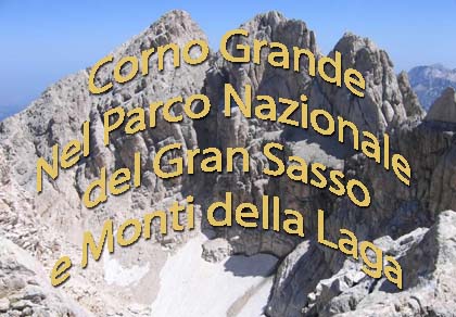
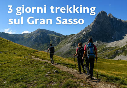
Ascent from Campo Imperatore to Corno Grande (Normal Route)

The ascent from Campo Imperatore to Corno Grande is one of the most iconic routes of the Gran Sasso: demanding but spectacular, ideal for experienced hikers.

Starting point

Location: Campo Imperatore (approx. 2,130 m)

Access: Cable car from Fonte Cerreto or road (summer only), near the Campo Imperatore Hotel and the Observatory.

Main technical data

Summit: Corno Grande (2,912 m)
Elevation gain: approx. 780 m
Round trip: 7–8 km
Ascent time: 3 h – 3 h 30’
Descent time: 2 h – 2 h 30’
Difficulty: EE
Exposure: Moderate
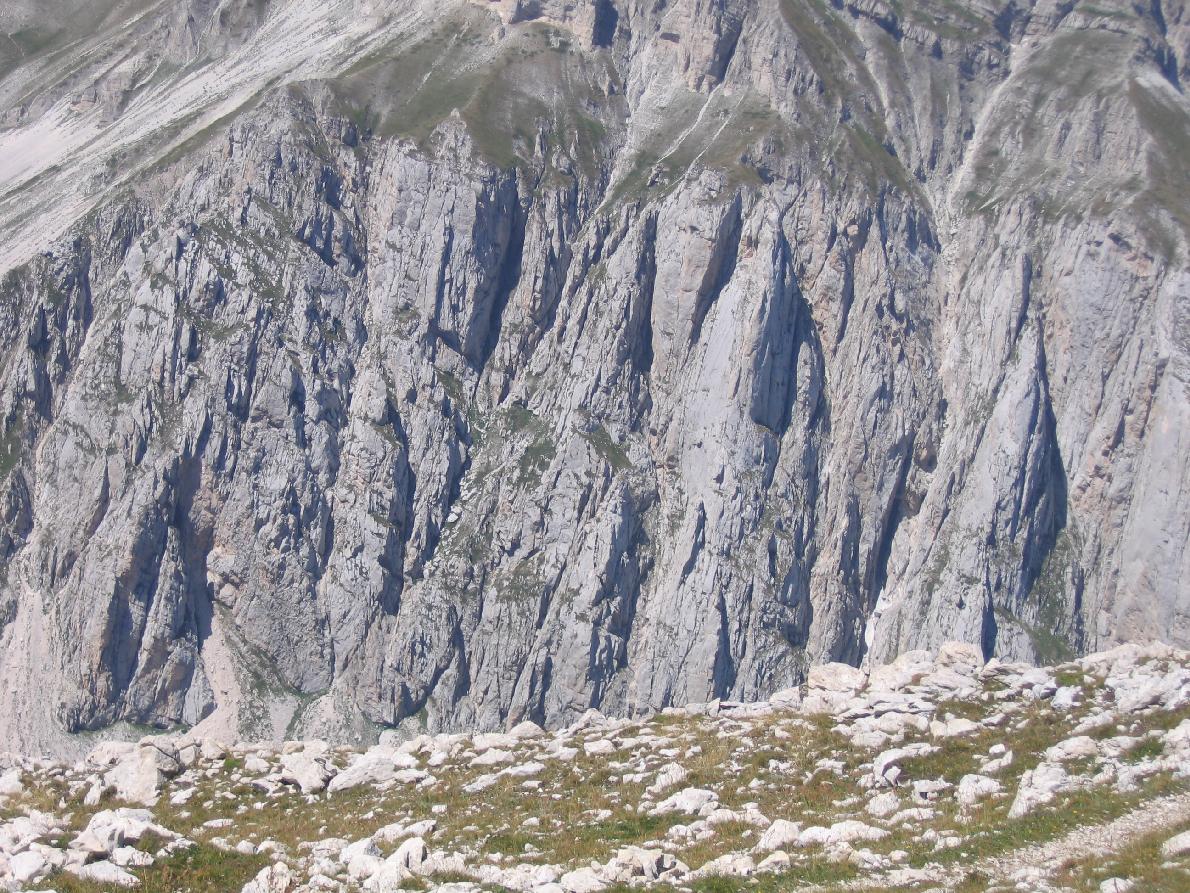
Terrain: Trail, rocky steps, scree
Snowshoes are prohibited in winter due to the steepness of the slopes.

Route description

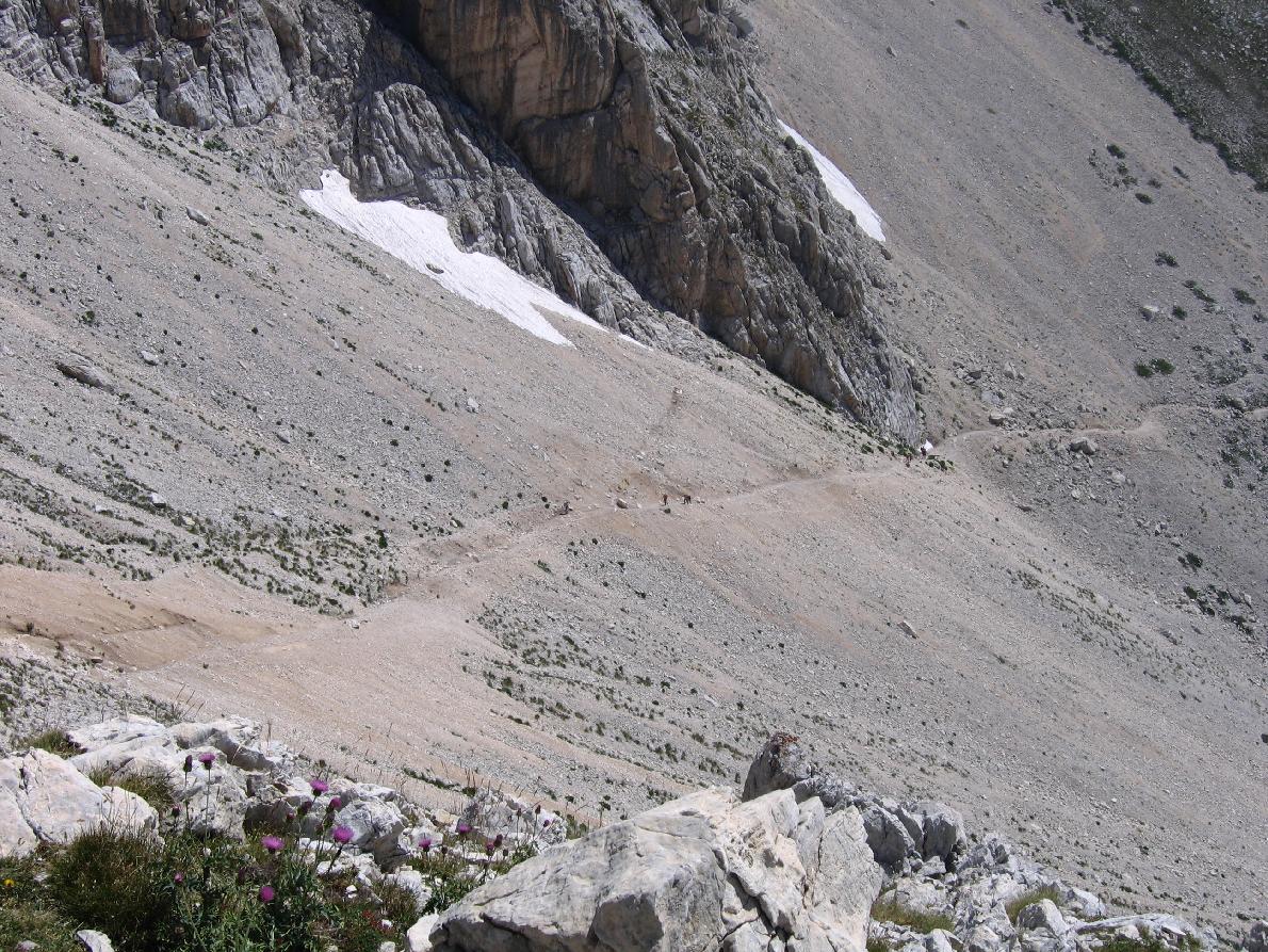
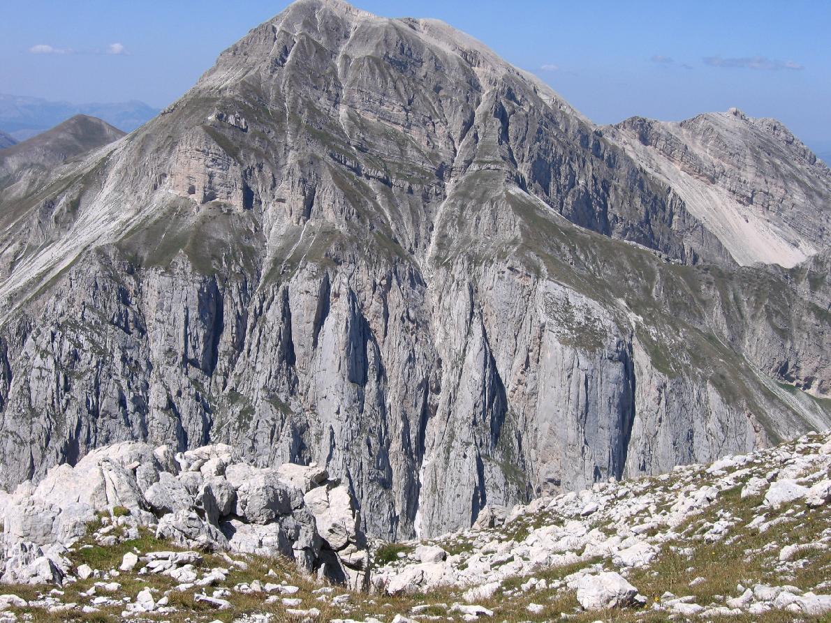
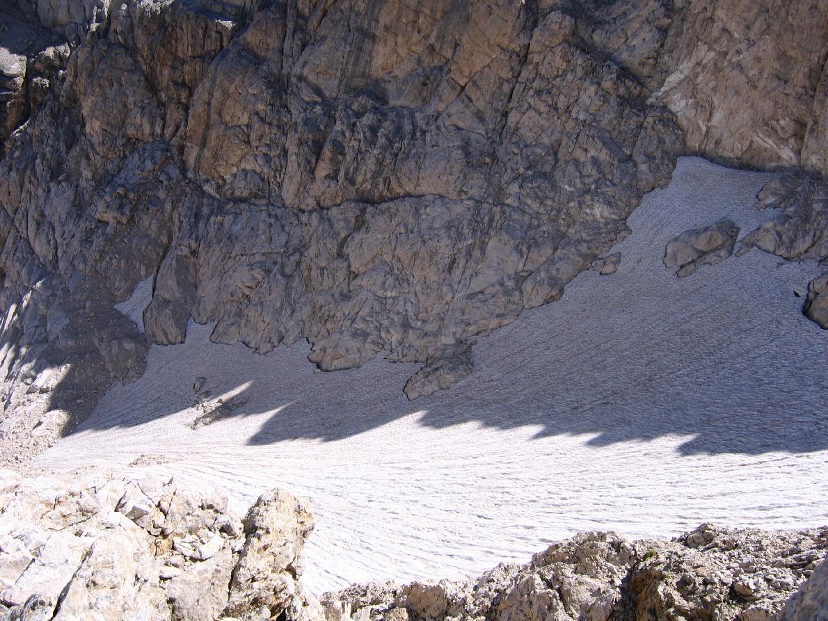
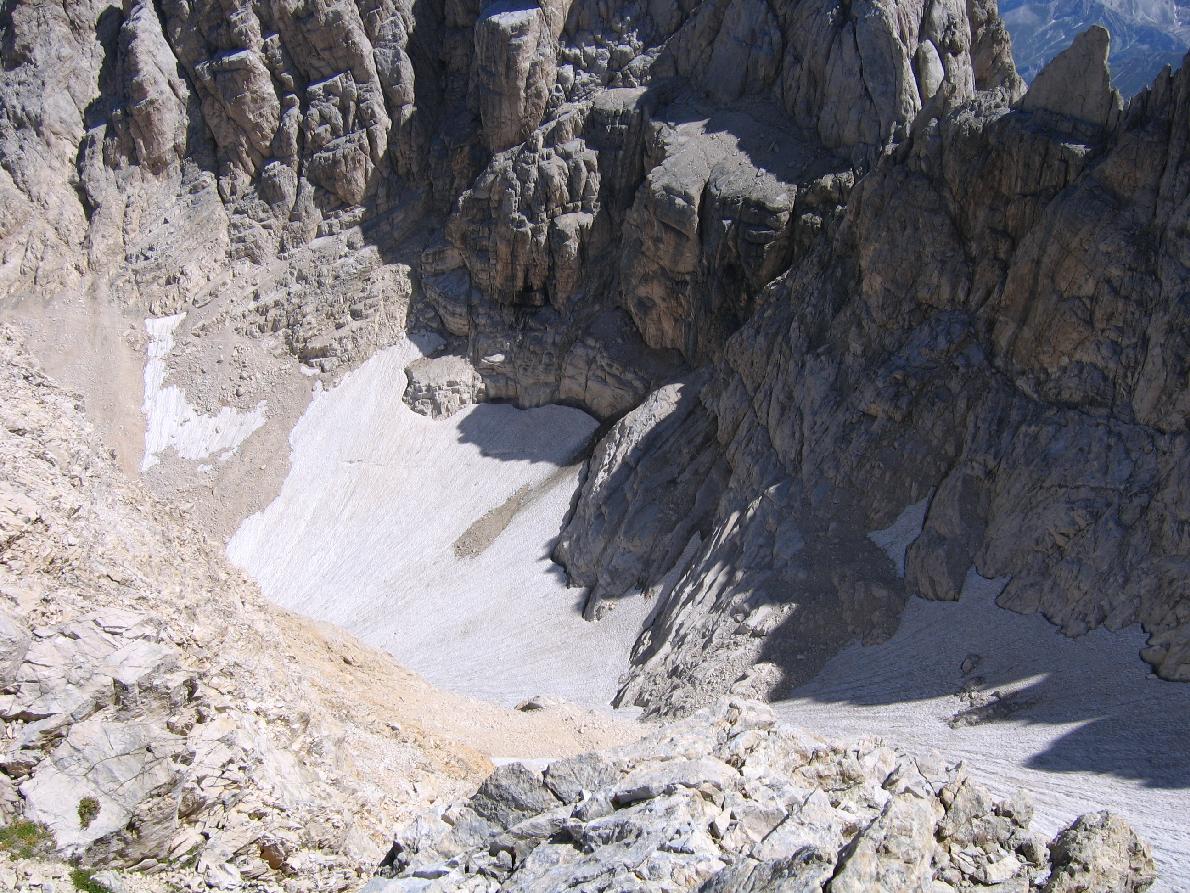
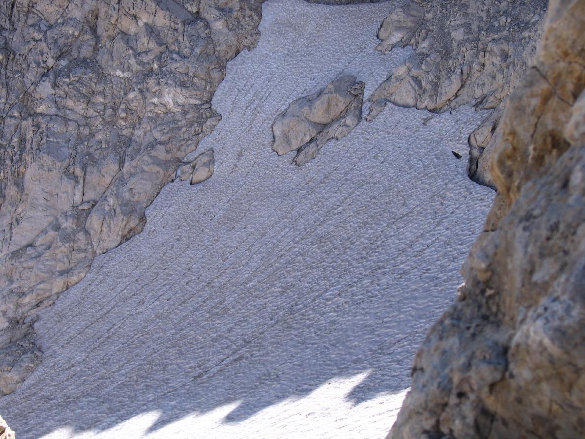
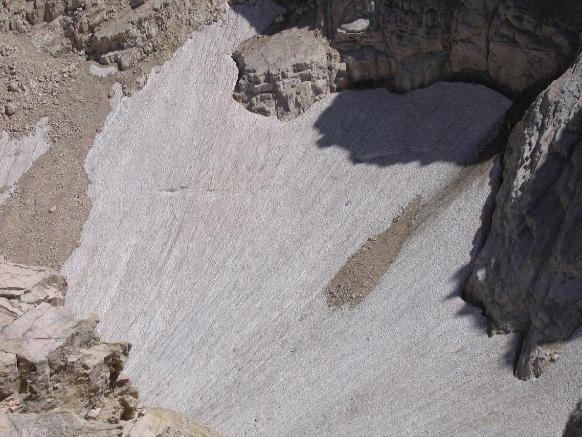
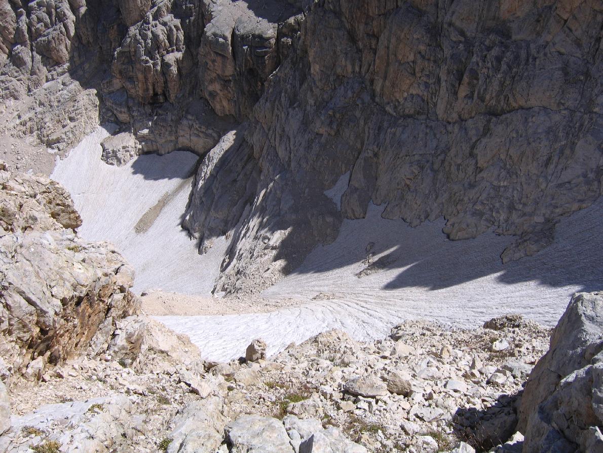
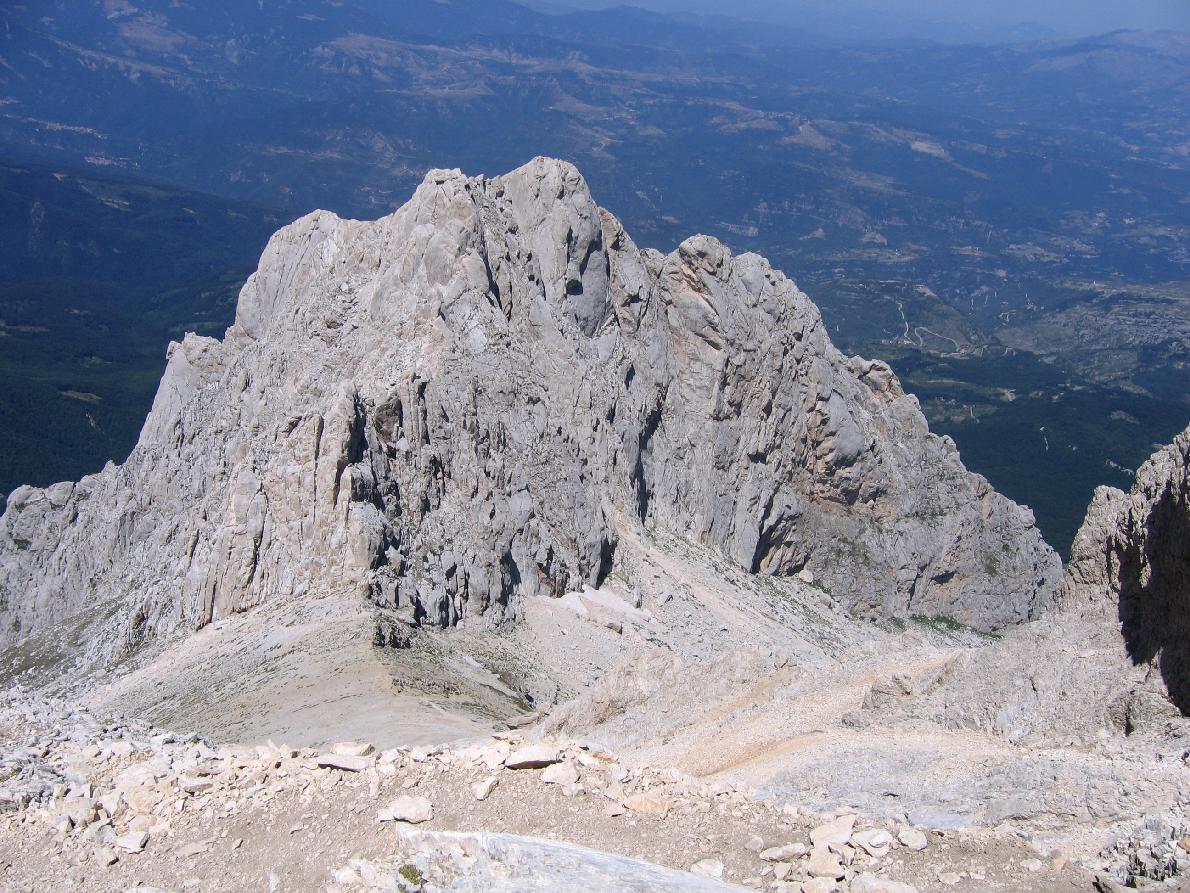
From the Campo Imperatore square, follow the trail towards Sella di Monte Aquila, with wide views over the plateau. Continue towards the Calderone basin, overlooking the glacier (now greatly reduced).

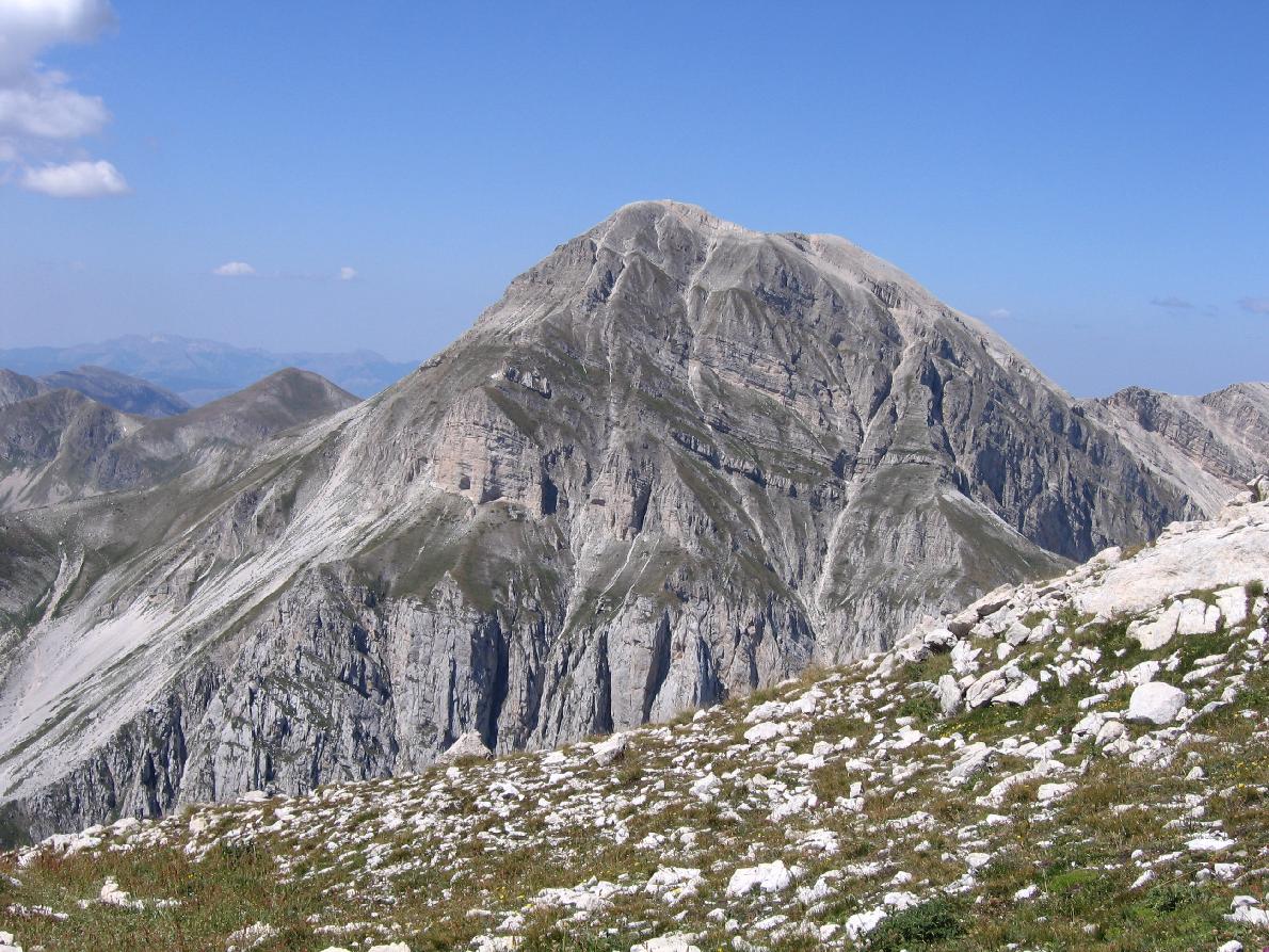
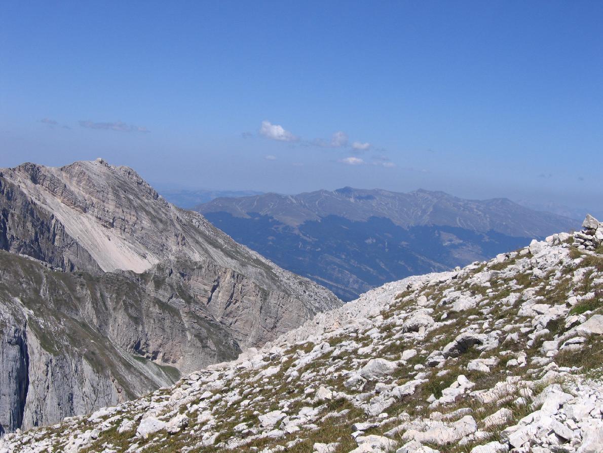
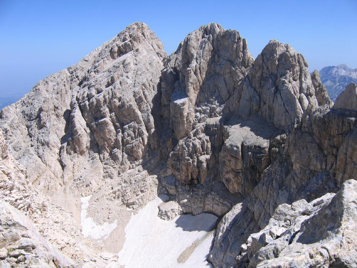
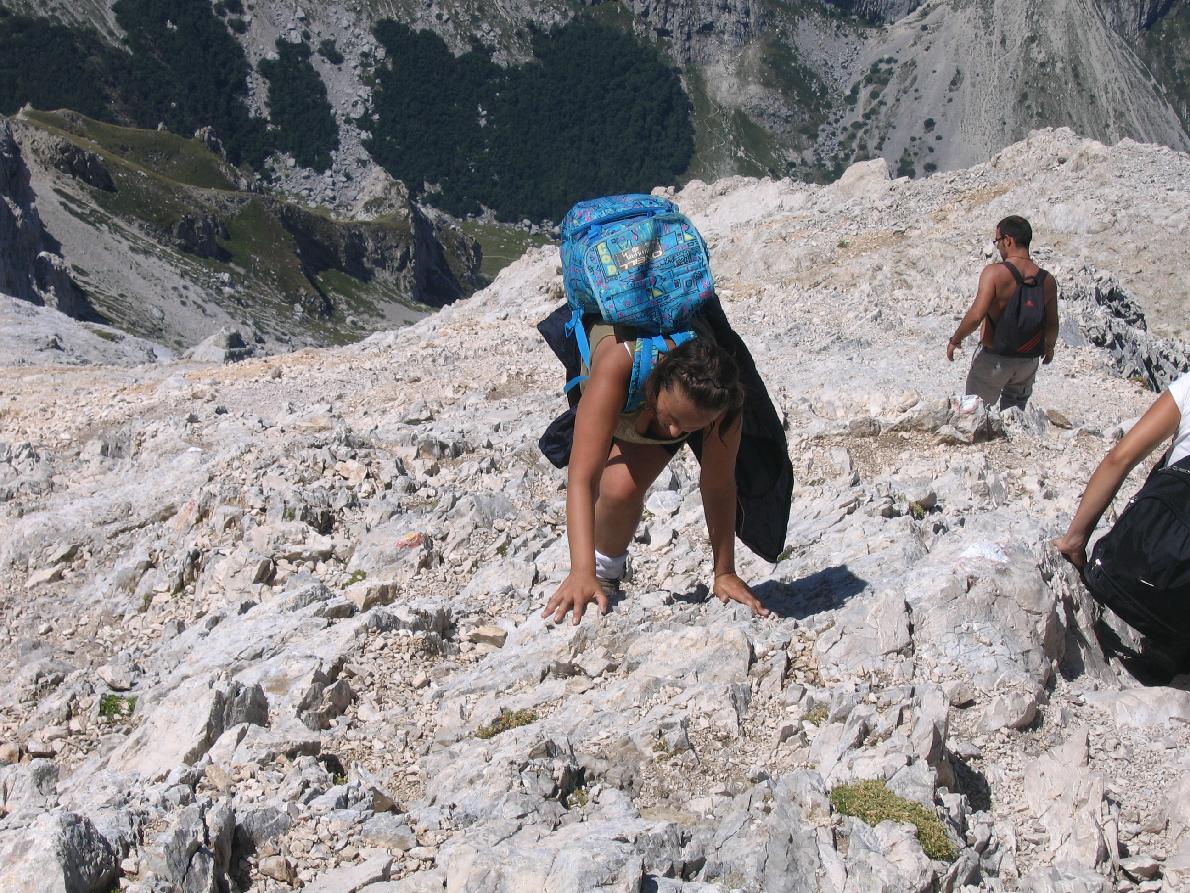
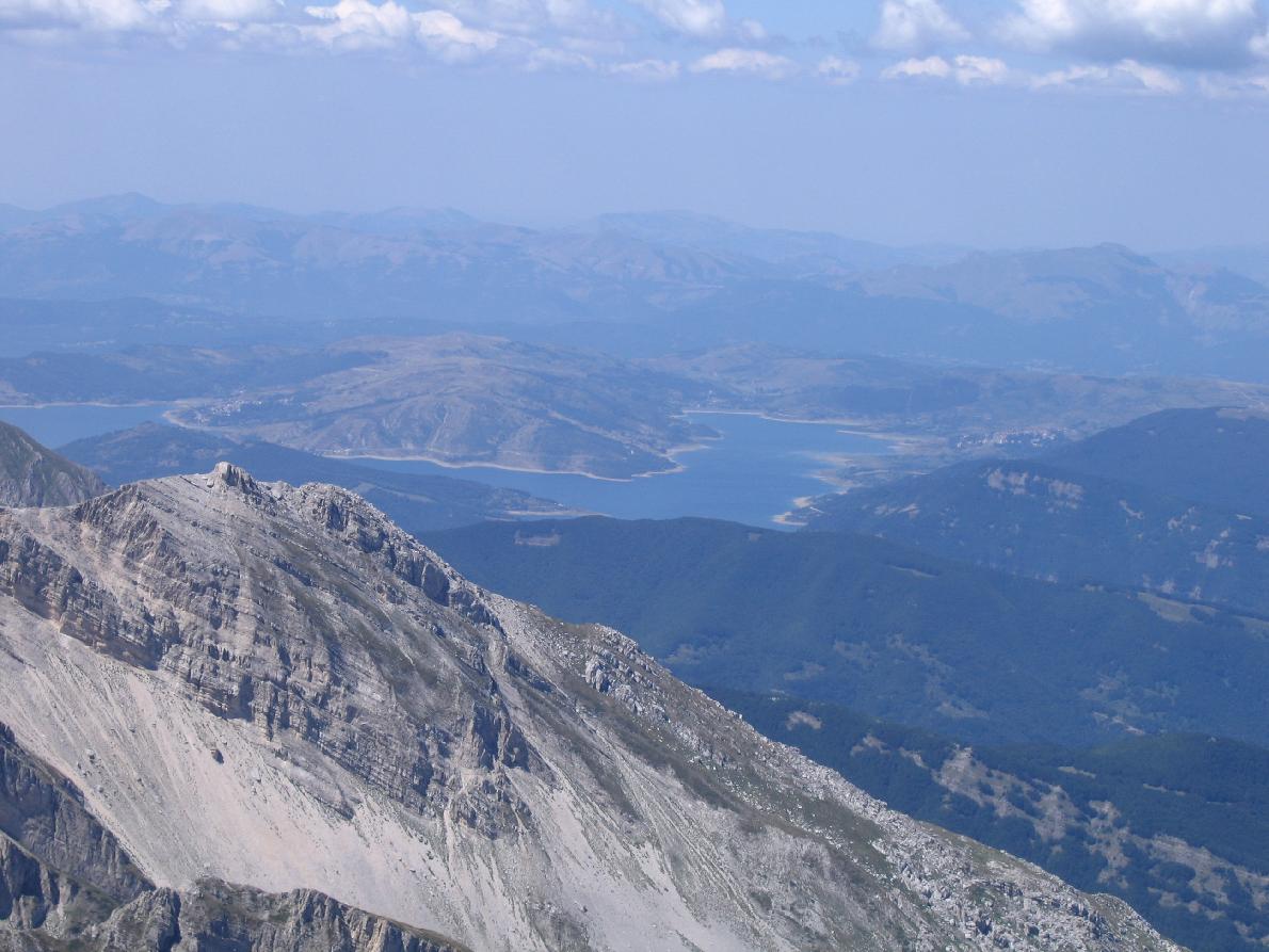
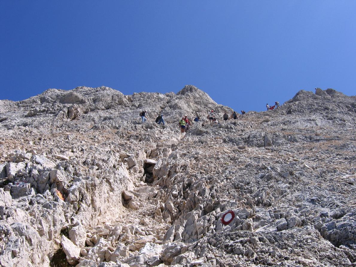
The final section climbs steep scree and rocky steps, with a few points requiring the use of hands for balance. The summit offers extraordinary views over the Gran Sasso range, the Maiella, the Velino–Sirente, and on clear days even the Adriatic Sea.

Critical points and warnings

  • Loose scree: requires secure footing, especially on descent.
  • Strong winds: the ridge and summit are often exposed.
  • Snow & ice: possible until early summer and late season.
  • Weather: sudden storms possible; stable forecast essential.
  • Crowds: very popular on summer weekends.

Main variants

  • Direttissima Route (EEA): steeper and more exposed, for very experienced hikers.
  • Brecciaio Route: longer and quieter, in a wilder environment.

Recommended equipment

  • Footwear: sturdy hiking boots.
  • Clothing: layered, with windproof/waterproof jacket.
  • Trekking poles: useful on scree.
  • Helmet: recommended due to possible rockfall.
  • Water & food: no sources along the route.
  • Navigation: GPS/GPX track and hiking map.

Technical sheet – Corno Grande (Normal Route)

Starting pointCampo Imperatore – 2,130 m
SummitCorno Grande – 2,912 m
Elevation gainapprox. 780 m
Round trip7–8 km
Ascent time3 h – 3 h 30’
Descent time2 h – 2 h 30’
DifficultyEE – Experienced hikers
ExposureModerate
TerrainTrail, rocky steps, steep scree
Recommended seasonJune – September
EquipmentBoots, poles, helmet recommended, layered clothing

The ascent to Corno Grande, the highest peak of the Gran Sasso and the Apennines, is divided into two alternative routes: the “Direttissima”, which requires specific preparation and is suitable only for experienced hikers, and the “Normal Route”, less difficult but still demanding.
Route type: Trekking for experienced hikers (Difficulty EE – Intermediate/Expert)
Hiking time: to the summit approx. 3:30 h uphill
Starting point: parking area of the Campo Imperatore hotel.
A map is recommended
Pets not allowed


View the map online

Skiing in Abruzzo – snow report

The most popular ski resorts, the updated snow report and useful information on how to find lifts or book accommodation for your winter holiday
Vai

Webcams in Abruzzo

View the webcams in Abruzzo and check real‑time weather conditions. Some webcams belong to www.abruzzoparchi.it, others are located throughout the region
Vai

Abruzzo weather

Weather forecasts for the coming days in Abruzzo. Live weather via our webcams and temperatures recorded in several mountain areas
Vai

Abruzzo trail maps

Maps for trekking, mountain biking, ski touring, running and horse riding. You can also download the GPX track of each route
Vai

Outdoor activities

Walks, diving, climbing, mountain biking, horse riding — all outdoor activities available in Abruzzo
Vai

Holiday in Abruzzo

Choose between sea or mountains, summer or winter, a sporty holiday or a relaxing one — Abruzzo has it all
Vai

Traditional Abruzzese cuisine

Abruzzo is famous for its cuisine, both mountain and coastal, with traditions that vary from area to area
Vai

Experience Abruzzo

Abruzzo’s villages are famous for their fortresses, mountains and the traditional trabocchi along the southern coast
Vai

Abruzzo, Lazio and Molise National Park

One of Italy’s most famous and oldest national parks
Vai

Gran Sasso and Monti della Laga National Park

One of Italy’s wildest parks, with typical Apennine landscapes and Dolomite‑like peaks
Vai

Velino‑Sirente Regional Park

Located in the heart of the Apennines, home to the beautiful villages of the Rocche Plateau
Vai

Majella National Park

One of the snowiest places in Italy, a unique mountain massif rising close to the sea
Vai