Skiing in Abruzzo – snow report
The most popular ski resorts, the updated snow report and useful information on how to find lifts or book accommodation for your winter holiday


What the weather will be like over the next 5 days in town, on the coast and in the mountains: pick a day on the map and tap a place to see its full forecast.
The most popular ski resorts, the updated snow report and useful information on how to find lifts or book accommodation for your winter holiday

View the webcams in Abruzzo and check real‑time weather conditions. Some webcams belong to www.abruzzoparchi.it, others are located throughout the region
Weather forecasts for the coming days in Abruzzo. Live weather via our webcams and temperatures recorded in several mountain areas
Maps for trekking, mountain biking, ski touring, running and horse riding. You can also download the GPX track of each route
Abruzzo’s villages are famous for their fortresses, mountains and the traditional trabocchi along the southern coast

One of Italy’s most famous and oldest national parks
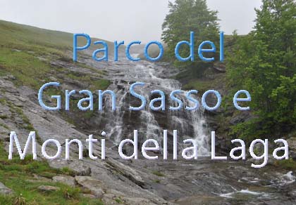
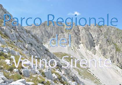
Located in the heart of the Apennines, home to the beautiful villages of the Rocche Plateau
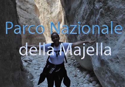
One of the snowiest places in Italy, a unique mountain massif rising close to the sea

Choose between sea or mountains, summer or winter, a sporty holiday or a relaxing one — Abruzzo has it all

Abruzzo is famous for its cuisine, both mountain and coastal, with traditions that vary from area to area
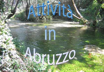
Walks, diving, climbing, mountain biking, horse riding — all outdoor activities available in Abruzzo
All 305 municipalities of Abruzzo, all their villages and the ski resorts with their altitude, from the sea at Pescara to Campo Imperatore at 2,133 m, plus hourly maps for a closer look.
From midnight to 16:00 today, 19/11. Updated every day at 9:00 and 16:00.
Readings from our weather stations around L'Aquila. All station data
The height of the 0 °C isotherm over the next 5 days in each province of Abruzzo. With cold outbreaks from the east, the Adriatic side and the L’Aquila area can have different levels.
How much rain or snow is expected in Abruzzo over the next 5 days, every 3 hours or for the whole day, with the pressure isobars. The maps update automatically with every new model run, up to 8 times a day.
ℹ️ Two different models
The maps on this page come from two different weather models, so the values may not match:
Type the name of a town, village or city in Abruzzo and pick it from the list.
Data: MET Norway, licence CC BY 4.0; daily summary by abruzzoparchi.it. An indicative forecast: in the mountains always check the official bulletins too. Sea: generated using E.U. Copernicus Marine Service Information; DOI. Villages, with altitude and position: ISTAT, 2021 census (CC BY 4.0).
Forecast rain and snow for the next 7 days over Central Italy and Europe, every 3 hours (every 6 on the last day) or for the whole day, with sea-level pressure lines. Choose the area and move through the hours as in the Abruzzo maps.
⚠️ ECMWF IFS model, different from the one used for the 5-day Abruzzo maps (DWD ICON-EU): for nearby places and times the two forecasts may differ.
The original maps from Consorzio LaMMA: open the one you want and move the slider through the hours.
Maps: Consorzio LaMMA. lamma.toscana.it
The latest data from our weather stations in the L’Aquila area (in Italian). Full data, 72-hour chart and webcams on the station pages:
The buttons below show the last 24 hours (in Italian).
Data from our stations are free to use, including commercially, under the CC BY 4.0 licence, provided you credit the source and the website: “Abruzzo Parchi, www.abruzzoparchi.it”.
CSV files covering the last 3 months, one reading every 15 minutes, in Italian time: date and time, temperature (°C), humidity (%), dew point (°C), VPD (kPa), absolute humidity (g/m³). Decimals use a comma.
Precipitation detected by radar over Abruzzo in the last few hours: press play to see how it moves.
The lower part of the charts shows the chance of rain: the more lines agree, the more likely it is; the height shows the amount. The horizontal lines are temperatures at about 1,500 m: the closer they stay, the more reliable the forecast. Green: official GFS forecast; red: period average; black: mean of the lines; blue: control run.
Wetterzentrale: www.wetterzentrale.de
The webcams of Abruzzo are all on one page. Tell us about yours at segnalazioni@abruzzoparchi.it.
Why the bora sometimes brings little snow to L’Aquila, where it snows most, how the Stau effect and the garbino work, what to expect in each season: the climate of Abruzzo explained area by area, with a page for each park and each provincial capital.
Gran Sasso and Laga · Majella · Abruzzo Park · Sirente-Velino · L’Aquila · Teramo · Pescara · Chieti · The coast
Because they come from two different models: the 5-day Abruzzo maps from the German DWD ICON-EU model (grid of about 7 km), the 7-day Central Italy and Europe maps from the European ECMWF IFS model (about 25 km). Each model computes the atmosphere in its own way: comparing them helps you judge how certain the forecast is.
The Abruzzo maps at every new ICON-EU run, up to 8 times a day; the 7-day maps twice a day, morning and evening, when the ECMWF 00 and 12 UTC runs come out. Under each map you can see the time of the last update and of the next one.
The first 2–3 days are usually good; from the fourth day on, take it as a trend: it shows whether a weather system is coming, but amounts and timing can change a lot from one run to the next. In the mountains always check the official bulletins too.
Purple areas show where the model mainly expects snow; values are approximate centimetres, estimated as 1 cm of snow per 1 mm of water. With dry, cold snow the real depth can be greater, with wet snow smaller.
Abruzzo rain, snow and freezing-level maps: DWD ICON-EU (open data). 7-day maps: ECMWF IFS (open data, CC BY 4.0 licence). Local forecasts: MET Norway (CC BY 4.0). Hour-by-hour maps: Consorzio LaMMA. Maps and texts are processed by abruzzoparchi.it.