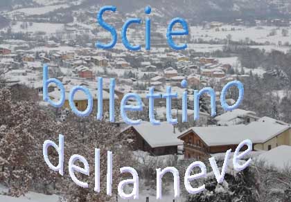
Skiing in Abruzzo – snow report
The most popular ski resorts, the updated snow report and useful information on how to find lifts or book accommodation for your winter holiday


The highest massif of the Apennines is a wall between the sea and the L’Aquila basin: on one side the snowy Teramo slopes, on the other the Campo Imperatore plateau, with its almost alpine climate.
The most popular ski resorts, the updated snow report and useful information on how to find lifts or book accommodation for your winter holiday

View the webcams in Abruzzo and check real‑time weather conditions. Some webcams belong to www.abruzzoparchi.it, others are located throughout the region
Weather forecasts for the coming days in Abruzzo. Live weather via our webcams and temperatures recorded in several mountain areas
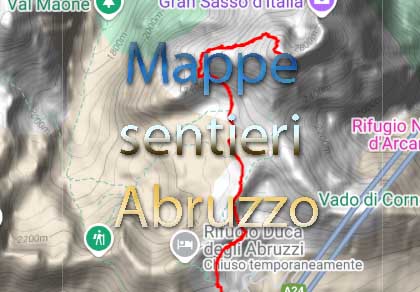
Maps for trekking, mountain biking, ski touring, running and horse riding. You can also download the GPX track of each route
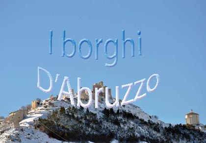
Abruzzo’s villages are famous for their fortresses, mountains and the traditional trabocchi along the southern coast

One of Italy’s most famous and oldest national parks
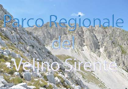
Located in the heart of the Apennines, home to the beautiful villages of the Rocche Plateau
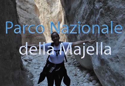
One of the snowiest places in Italy, a unique mountain massif rising close to the sea

Choose between sea or mountains, summer or winter, a sporty holiday or a relaxing one — Abruzzo has it all

Abruzzo is famous for its cuisine, both mountain and coastal, with traditions that vary from area to area
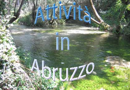
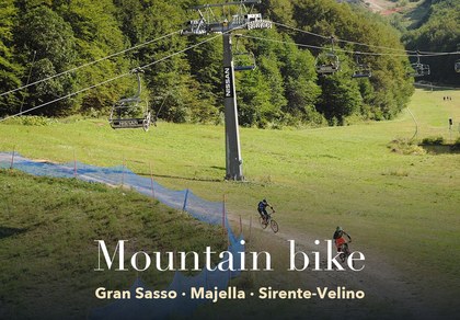
Walks, diving, climbing, mountain biking, horse riding — all outdoor activities available in Abruzzo
The highest massif of the Apennines is a wall between the sea and the L’Aquila basin: on one side the snowy Teramo slopes, on the other the Campo Imperatore plateau, with its almost alpine climate.
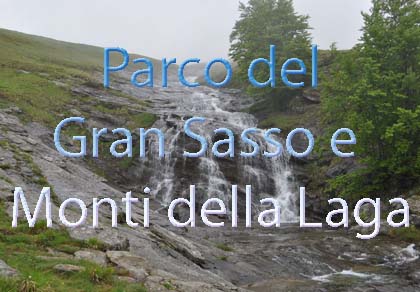
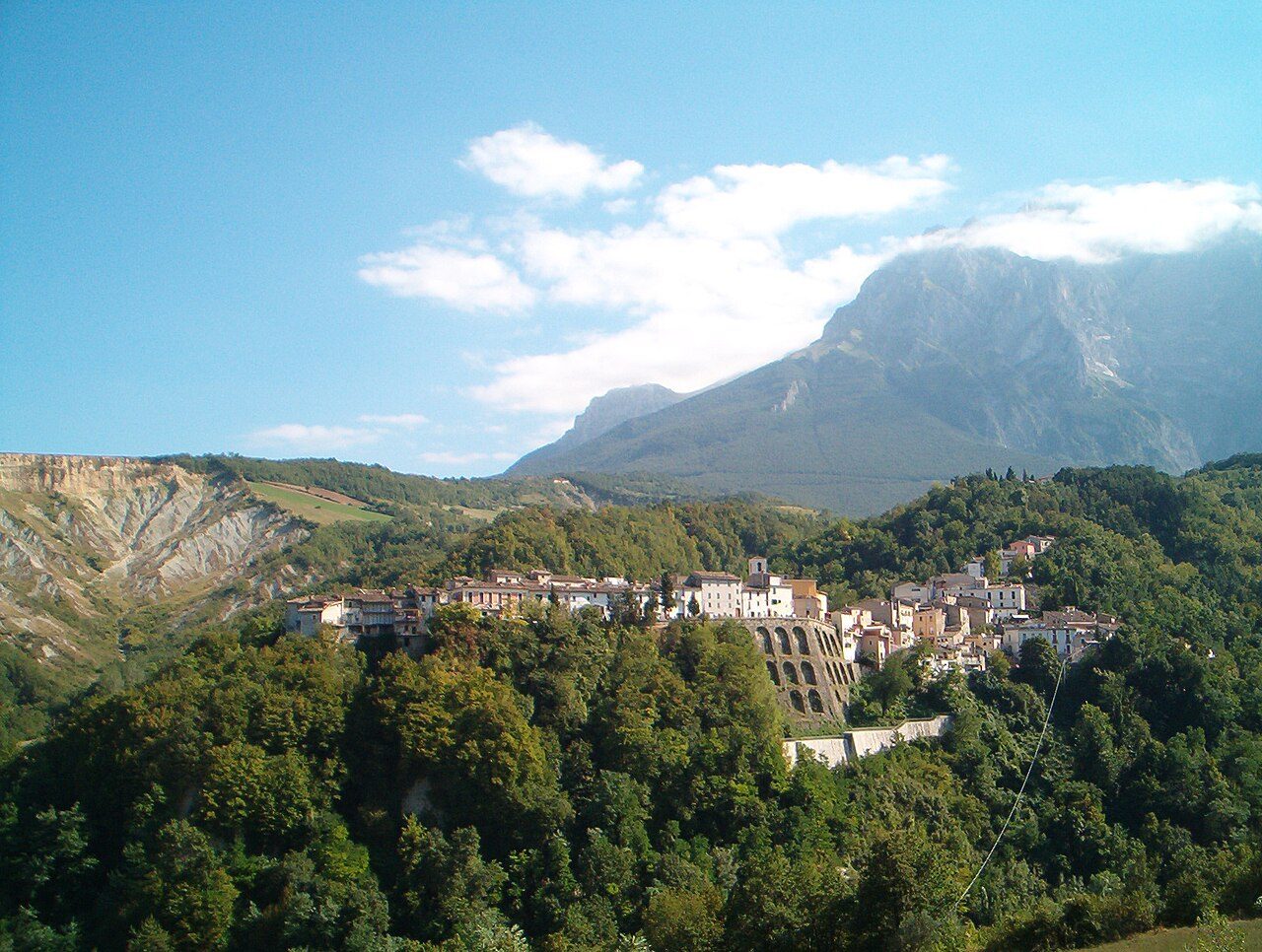
The Gran Sasso and Monti della Laga National Park brings together two different mountain groups: the limestone Gran Sasso, with Corno Grande (2,912 m), the highest peak of the Apennines, and the sandstone Monti della Laga, further north, reaching 2,458 m at Monte Gorzano. The Gran Sasso runs from north-west to south-east and is high and broad: for currents arriving from the Adriatic it is a barrier that is hard to cross. That is why the climate changes a great deal between the side facing the sea and the side facing L’Aquila.
How the Stau effect, the bora and the garbino work is explained on the page The climate of Abruzzo; here we look at what happens in the park.
It faces the sea and is the first to receive the cold currents from the north and north-east: with the bora and the tramontana moisture-laden clouds stop against the walls and drop a lot of snow. This is the side of Prati di Tivo, Isola del Gran Sasso, Castelli and the Teramo villages. With fronts from the west, on the other hand, it is more sheltered and the warm, dry garbino may blow.
It faces the L’Aquila basin and the Campo Imperatore plateau. With Atlantic fronts from the west and south-west it gets rain and snow; with a direct, poorly organised bora it is drier, because the clouds unload on the other side. The exception is the strip at the foot of the mountain, just beyond the ridges, where snow brought from the east still arrives in abundance (see below).
On the Teramo side, below Corno Piccolo: it snows mainly with currents from the north and north-east. Slope conditions are in Skiing at Prati di Tivo.
Thanks to its altitude it gets snow with almost every current, but the wind keeps moving it: wind-blown ridges, cornices and drifts. The slopes are in Skiing at Campo Imperatore.
Castel del Monte, Santo Stefano di Sessanio, Calascio and the other villages of Campo Imperatore face south: snow arrives both with fronts from the west and with the strongest outbreaks from the east, but in the sun it melts sooner than on the north side.
Above 2,000 m snow lasts for many months and snowfields survive in the gullies into summer. In winter avalanche danger can be high: check the Meteomont bulletin and read about mountain safety.
Campo Imperatore is a vast open, treeless plateau between 1,500 and over 2,000 m. Here the wind is the star: it often blows hard, makes the perceived temperature much lower than the real one and turns even a modest snowfall into a blizzard. On clear nights cold air pools in the hollows of the plateau and temperatures drop sharply. In summer days are cool and bright, but thunderstorms often form over the peaks in the early afternoon: set off early and come down in time.
To see what it is like now there are the webcams of Campo Imperatore and Prati di Tivo.
The Monti della Laga are made of sandstone and marl, rocks that do not let water seep through like the limestone of the Gran Sasso: rain and meltwater run off on the surface and form streams and waterfalls, such as those of the Valley of the Hundred Waterfalls. They are among the wettest mountains in Abruzzo, with dense beech and fir woods and snow that lingers on the north slopes. Lake Campotosto, on the plateau between the Laga and the Gran Sasso, has long, harsh winters.
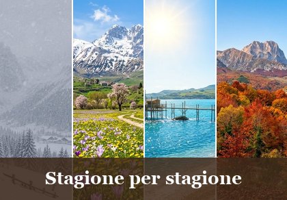
What to expect in the park, season by season. Ideas on what to do are in Abruzzo season by season.
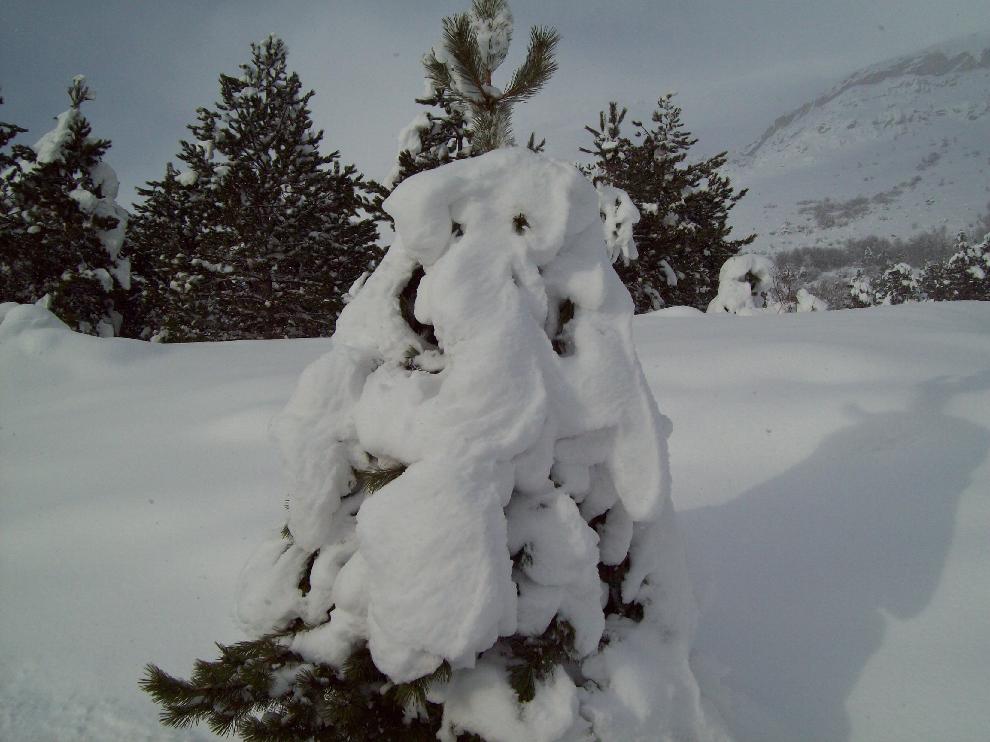
Long and snowy at altitude. The Teramo side and the Fonte Cerreto and Assergi strip get a lot of snow with outbreaks from the east; Campo Imperatore is often swept by the wind. It is the season for skiing at Campo Imperatore and Prati di Tivo and for snowshoeing.
Lower down the meadows bloom, at altitude snow lasts until May and beyond. The weather changes quickly and snow can return even in April. On the Laga it is the time of the fullest waterfalls, fed by the melting snow.
The best season for the peaks and for treks in the park. Mornings are clear; in the afternoon thunderstorms are common, with lightning on the ridges. At Campo Imperatore you need a jacket even in summer.
The beech woods of the Laga and the Teramo side turn yellow and red. Fronts from the west return, with the first snowfalls at altitude already in October; on clear mornings fog fills the valleys.
Snow report · Campo Imperatore · Prati di Tivo · Fonte Cerreto · Snowshoeing · Ski touring
Hiking guide to the park · Villages of Campo Imperatore · The Teramo Gran Sasso · Hundred Waterfalls
Weather forecast for Abruzzo · Webcams · nearby weather stations: San Gregorio, San Sisto, Scoppito
Average temperature, rainfall and snow values will be added with the official 1991-2020 climate normals. The observations on snow also come from the first-hand experience of the people who run this site.
On the Teramo side, exposed to currents from the north and north-east, as at Prati di Tivo, and at altitude at Campo Imperatore. With impulses from the east the strip at the foot of the L’Aquila side too, such as Fonte Cerreto and Assergi, gets large amounts of snow, though less than the Teramo slopes.
Because it lies just beyond the ridges of the Gran Sasso: with outbreaks from the east the clouds that cross the watershed drop their snow there. Further away, in the L’Aquila basin, the air sinks and dries out, and with direct, poorly organised impulses only a few flakes arrive.
It is a plateau between 1,500 and over 2,000 m with an almost alpine climate: long, snowy winters, often strong wind, cool summers with afternoon thunderstorms.
Because they are made of sandstone and marl, rocks that do not absorb water like limestone: rain and meltwater run off on the surface and form streams and waterfalls.
From June to September for the peaks and treks, setting off early to avoid the afternoon thunderstorms; in autumn for the colours of the beech woods; from December to March for skiing and snowshoeing at Campo Imperatore, Prati di Tivo and Fonte Cerreto; in spring for the waterfalls of the Laga.

Rocca di Mezzo, Rocca di Cambio, Rovere, Terranera, Ovindoli

The Medieval Villages of the Gran Sasso, with their castles, towers, and ancient settlements that once dominated Abruzzo

The village of Cappadocia, in the western part of the Aquilan Abruzzo

The village of Casamaina, a favourite among skiers heading to Campo Felice or Ovindoli

The village of Castel del Monte, the highest settlement in the Gran Sasso area

The village of Civitella Alfedena, in the Abruzzo, Lazio and Molise National Park

Mountaineering on the Gran Sasso, the ideal place for freeride lovers seeking demanding routes

The city of L'Aquila, with its restored Renaissance palaces, a place rich in culture

The 2012 snowfall in L'Aquila brought over one metre of snow in 24 hours — unbelievable images

The village of Pescasseroli, heart of the Abruzzo, Lazio and Molise National Park

The village of Pietracamela, on the north-eastern side of the Gran Sasso, at the foot of Corno Piccolo — a magical and unexpected place

Prati di Tivo, a winter ski resort offering breathtaking views to all who visit

San Domenico and the Serpari ritual, held every first Thursday of May

The 2012 snowfall in Scoppito reached nearly two metres in height

The village of Opi, a splendid settlement in the Abruzzo, Lazio and Molise National Park








Punta Aderci, with the Abruzzese trabocchi stretching from Vasto through Fossacesia to San Vito Chietino


Lake Campotosto, nestled between the Gran Sasso and Monti della Laga ranges, within the national park of the same name

The Capodacqua reservoir, with submerged mills and crystal-clear waters, a paradise for divers

The swimming lake of Scanno, named after the village overlooking it — a place worth visiting

Lake Sinizzo, just a few kilometres from San Demetrio, is the ideal place for nature lovers seeking fresh, clear waters

Lake San Domenico, named after the nearby hermitage; its crystal-clear waters make it unique. Swimming not allowed

The Fountain of the 99 Spouts, a symbol of the city of L'Aquila

The Basilica of Santa Maria di Collemaggio, resting place of Pope Celestine V

The Sanctuary of Madonna d'Appari, set among the rocks along the road between Paganica and Assergi

The Church of San Panfilo, in the municipality of Tornimparte, with its frescoes — a place worth visiting

The Stiffe Caves, inside the Velino-Sirente Regional Park — a magical place to explore
The most popular ski resorts, the updated snow report and useful information on how to find lifts or book accommodation for your winter holiday
Vai
View the webcams in Abruzzo and check real‑time weather conditions. Some webcams belong to www.abruzzoparchi.it, others are located throughout the region
Vai
Weather forecasts for the coming days in Abruzzo. Live weather via our webcams and temperatures recorded in several mountain areas
Vai
Maps for trekking, mountain biking, ski touring, running and horse riding. You can also download the GPX track of each route
Vai
Walks, diving, climbing, mountain biking, horse riding — all outdoor activities available in Abruzzo
Vai
Choose between sea or mountains, summer or winter, a sporty holiday or a relaxing one — Abruzzo has it all
Vai
Abruzzo is famous for its cuisine, both mountain and coastal, with traditions that vary from area to area
Vai
Abruzzo’s villages are famous for their fortresses, mountains and the traditional trabocchi along the southern coast
Vai
One of Italy’s most famous and oldest national parks
Vai
One of Italy’s wildest parks, with typical Apennine landscapes and Dolomite‑like peaks
Vai
Located in the heart of the Apennines, home to the beautiful villages of the Rocche Plateau
Vai
One of the snowiest places in Italy, a unique mountain massif rising close to the sea
Vai